Dockey Woods
- Distance: 6.0 mi
- Elevation gain: 492 ft
- Maximum elevation: 823 ft
- Elevation loss: 492 ft
- Minimum elevation: 499 ft
- Moving time: 1 h 20 m
- Moving speed: 4.5 mph
- Maximum speed: 11.0 mph
- Total time: 1 h 24 m
- Global speed: 4.3 mph
- Date: 04/17/2024
Interactive map
GPS track profile
About this GPS track
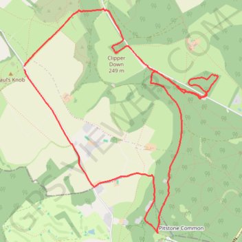
Name: Dockey Woods GPS track, route, trail
Coordinates: 51.80833 -0.61564 51.83067 -0.58436
Other GPS tracks
Click on a GPS track to view route, its statistics and profile.
Ivinghoe Beacon
United Kingdom > England > Buckinghamshire
Distance: 5.1 mi • Elevation gain: 486 ft • Maximum elevation: 823 ft