Liberty Lake
Trails in Liberty Lake, WA area
- Distance: 5.5 mi
- Elevation gain: 994 ft
- Maximum elevation: 2,917 ft
- Elevation loss: 1,001 ft
- Minimum elevation: 2,211 ft
- Moving time: 2 h 5 m
- Moving speed: 2.6 mph
- Maximum speed: 4.5 mph
- Total time: 2 h 39 m
- Global speed: 2.1 mph
- Date: 03/30/2024
Interactive map
GPS track profile
About this GPS track
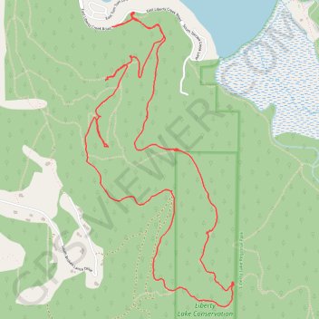
Name: Liberty Lake GPS track, route, trail
Coordinates: 47.61764 -117.08166 47.63640 -117.06767
Topography: Spokane County topographic map