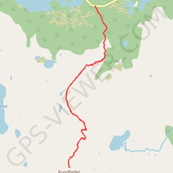
LOF_38_suolovarri
- Distance: 4.6 mi
- Elevation gain: 2,516 ft
- Maximum elevation: 2,612 ft
- Elevation loss: 2,516 ft
- Minimum elevation: 115 ft
Interactive map
GPS track profile
About this GPS track
Name: LOF_38_suolovarri GPS track, route, trail
Start: Midnattsolveien, Vestpollen, Farsvika, Vågan, Nordland, Norvège (68.31284 14.57562)
End: Midnattsolveien, Vestpollen, Farsvika, Vågan, Nordland, Norvège (68.31284 14.57562)
Coordinates: 68.28939 14.56405 68.31284 14.58013
Other GPS tracks
Click on a GPS track to view route, its statistics and profile.
Stage 1: Arctic Ocean to Väylä — European Divide Trail
Distance: 1,730.5 mi • Elevation gain: 78,159 ft • Maximum elevation: 2,369 ft