BLOC 1 2023:53:37
- Distance: 1.9 mi
- Elevation gain: 190 ft
- Maximum elevation: 417 ft
- Elevation loss: 190 ft
- Minimum elevation: 348 ft
- Moving time: 1 h 31 m
- Moving speed: 1.3 mph
- Maximum speed: 2.1 mph
- Total time: 1 h 37 m
- Global speed: 1.2 mph
- Date: 01/12/2023
Interactive map
GPS track profile
About this GPS track
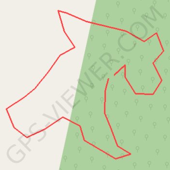
Name: BLOC 1 2023:53:37 GPS track, route, trail
Start: Bettié, Indénié-Djuablin, Comoé, Côte d’Ivoire (6.08539 -3.35836)
End: Bettié, Indénié-Djuablin, Comoé, Côte d’Ivoire (6.08525 -3.35861)
Coordinates: 6.08164 -3.36323 6.08829 -3.35613