Tenerif-06
- Distance: 3.1 mi
- Elevation gain: 833 ft
- Maximum elevation: 6,873 ft
- Elevation loss: 778 ft
- Minimum elevation: 6,129 ft
- Moving time: 1 h 56 m
- Moving speed: 1.6 mph
- Maximum speed: 3.4 mph
- Total time: 3 h 34 m
- Global speed: 0.9 mph
- Date: 04/22/2011
Interactive map
GPS track profile
About this GPS track
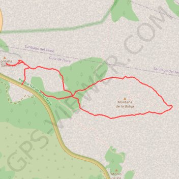
Name: Tenerif-06 GPS track, route, trail
End: TF-38, Guía de Isora, Santa Cruz de Ténérife, Îles Canaries, 38690, Espagne (28.26600 -16.72378)
Coordinates: 28.26303 -16.72791 28.26928 -16.70760
Other GPS tracks
Click on a GPS track to view route, its statistics and profile.
Ten_19_Montana de la Botija - Montana Samara
Distance: 3.1 mi • Elevation gain: 807 ft • Maximum elevation: 6,877 ft