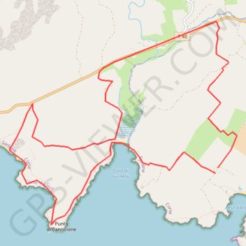
La Tour D'Olmeto - Corse
Interactive map
GPS track profile
About this GPS track
Name: La Tour D'Olmeto - Corse GPS track, route, trail
Coordinates: 41.47465 8.97420 41.50217 9.01527
Other GPS tracks
Click on a GPS track to view route, its statistics and profile.
1 LUCENA - MONTPELLIER
Distance: 1,842.0 mi • Elevation gain: 96,785 ft • Maximum elevation: 3,438 ft
1 LUCENA - MONTPELLIER
Espagne > Andalousie > Lucena
Distance: 1,842.0 mi • Elevation gain: 96,785 ft • Maximum elevation: 3,438 ft
Ajaccio - Bastia par le sud
France > Corse > Corse-du-Sud > Ajaccio
Vélo. En aller simple entre Ajaccio et Bastia. #Vélo
Distance: 209.6 mi • Elevation gain: 15,574 ft • Maximum elevation: 1,824 ft
TG6ak
France > Corse > Haute-Corse > Bastia
tour de corse vélo de voyage trace en préparation
Distance: 503.9 mi • Elevation gain: 73,199 ft • Maximum elevation: 4,849 ft