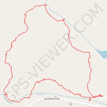
Hiking Trail in Colebrook, CT
Afternoon hike
- Distance: 1.5 mi
- Elevation gain: 180 ft
- Maximum elevation: 1,178 ft
- Elevation loss: 180 ft
- Minimum elevation: 1,030 ft
- Moving time: 48 m 16 s
- Moving speed: 1.9 mph
- Maximum speed: 6.2 mph
- Total time: 51 m 38 s
- Global speed: 1.8 mph
- Date: 05/04/2024
Interactive map
GPS track profile
About this GPS track
Name: Hiking Trail in Colebrook, CT GPS track, route, trail
Coordinates: 42.01408 -73.10245 42.01887 -73.09593
Topography: Northwest Hills Planning Region topographic map