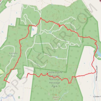
Castlemaine Diggins Park and Kalimns Park Loop
Loop hike via Pikestreet Road, The Folly Track, Welsh Street, Forest Creek Track, Expedition Pass Reservoir, Nicholson Extension Track, No 1 Remote Track, Haws No 1 Track, North West Break and Unknown Miners Grave in the Castlemaine Diggins National Heritage Park and the Kalimns Park. #Hike #Loop #Nature #Park #Forest #Lake
- Distance: 7.3 mi
- Elevation gain: 840 ft
- Maximum elevation: 1,421 ft
- Elevation loss: 869 ft
- Minimum elevation: 997 ft
Interactive map
GPS track profile
About this GPS track
Name: Castlemaine Diggins Park and Kalimns Park Loop GPS track, route, trail
Coordinates: -37.06224 144.23343 -37.03925 144.27443
Other GPS tracks
Click on a GPS track to view route, its statistics and profile.