View of the Temple of the Sun and the Temple of the Moon
Hike on the Lower Cathedral Valley Overlook Route in the Capitol Reef National Park. #Hike #Overlook #Nature #Rock #Desert #Park
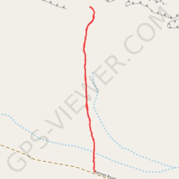
- Distance: 1.7 mi
- Elevation gain: 157 ft
- Maximum elevation: 5,968 ft
- Elevation loss: 157 ft
- Minimum elevation: 5,827 ft
- Moving time: 46 m 50 s
- Moving speed: 2.2 mph
- Maximum speed: 2.5 mph
- Total time: 46 m 50 s
- Global speed: 2.2 mph
- Date: 03/08/2024
Interactive map
GPS track profile
About this GPS track
Name: View of the Temple of the Sun and the Temple of the Moon GPS track, route, trail
Start: Hartnet Road, Wayne County, Utah, United States (38.43039 -111.20563)
End: Hartnet Road, Wayne County, Utah, United States (38.43039 -111.20563)
Coordinates: 38.43034 -111.20664 38.44217 -111.20560
Topography: Wayne County topographic map