Santa Cruz 3/4
Randonnée pédestre. En aller simple. #Randonnée
- Distance: 9.5 mi
- Elevation gain: 2,402 ft
- Maximum elevation: 15,630 ft
- Elevation loss: 4,006 ft
- Minimum elevation: 12,080 ft
- Moving time: 5 h 19 m
- Moving speed: 1.8 mph
- Maximum speed: 4.0 mph
- Total time: 7 h 46 m
- Global speed: 1.2 mph
- Date: 09/09/2012
Interactive map
GPS track profile
About this GPS track
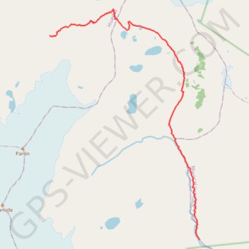
Name: Santa Cruz 3/4 GPS track, route, trail
Start: Taullipampa, Alpamayo Trek, Santa Cruz, Huaylas, Ancash, Pérou (-8.91840 -77.60429)
End: AN-106, Vaquería, Yanama, Yungay, Ancash, Pérou (-8.98727 -77.55321)
Coordinates: -8.98727 -77.60429 -8.90960 -77.55321
Other GPS tracks
Click on a GPS track to view route, its statistics and profile.