Fooses Reroute
- Distance: 10.1 mi
- Elevation gain: 167 ft
- Maximum elevation: 11,932 ft
- Elevation loss: 3,222 ft
- Minimum elevation: 8,832 ft
- Moving time: 4 h 30 m
- Moving speed: 2.2 mph
- Maximum speed: 2.4 mph
- Total time: 4 h 30 m
- Global speed: 2.2 mph
- Date: 04/19/2024
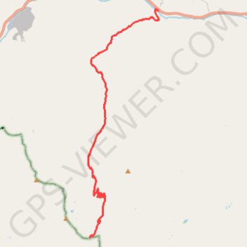
Interactive map
GPS track profile
About this GPS track
Name: Fooses Reroute GPS track, route, trail
Start: Monarch Crest Trail 531, Chaffee County, Colorado, United States (38.45450 -106.27705)
End: Colorado Trail (Segment 14), Chaffee County, Colorado, 81227, United States (38.54327 -106.24252)
Coordinates: 38.45450 -106.27773 38.54379 -106.24251
Topography: Chaffee County topographic map