Nut Plains Guilford
- Distance: 1.8 mi
- Elevation gain: 174 ft
- Maximum elevation: 154 ft
- Elevation loss: 197 ft
- Minimum elevation: 26 ft
- Moving time: 53 m 58 s
- Moving speed: 2.0 mph
- Maximum speed: 3.3 mph
- Total time: 1 h 14 m
- Global speed: 1.5 mph
- Date: 04/06/2024
Interactive map
GPS track profile
About this GPS track
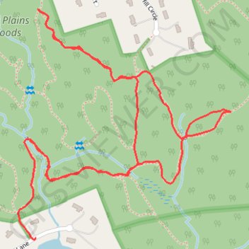
Name: Nut Plains Guilford GPS track, route, trail
Coordinates: 41.32073 -72.67548 41.32616 -72.66881
Topography: South Central Connecticut Planning Region topographic map