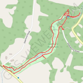
Deerhurst Road Park
Loop hike / run along Gap Creek through Deerhurst Road Park in Kenmore Hills. #Hike #Run #Loop #Park #Nature #Forest #River
- Distance: 1.8 mi
- Elevation gain: 66 ft
- Maximum elevation: 148 ft
- Elevation loss: 66 ft
- Minimum elevation: 102 ft
- Moving time: 33 m 25 s
- Moving speed: 3.2 mph
- Maximum speed: 7.0 mph
- Total time: 35 m 16 s
- Global speed: 3.0 mph
- Date: 02/12/2024
Interactive map
GPS track profile
About this GPS track
Name: Deerhurst Road Park GPS track, route, trail
Coordinates: -27.49537 152.91692 -27.48930 152.92511
Other GPS tracks
Click on a GPS track to view route, its statistics and profile.