Grandview Trail (Grand Canyon)
Hike along the Grandview Trail from Grandview Point in the Grand Canyon National Park. #Hike #Canyon #Mountain #Nature #Rock #River #Park
- Distance: 8.6 mi
- Elevation gain: 3,773 ft
- Maximum elevation: 7,395 ft
- Elevation loss: 3,514 ft
- Minimum elevation: 4,780 ft
- Moving time: 4 h 27 m
- Moving speed: 1.9 mph
- Maximum speed: 5.7 mph
- Total time: 5 h 18 m
- Global speed: 1.6 mph
- Date: 06/10/2017
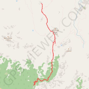
Interactive map
GPS track profile
About this GPS track
Name: Grandview Trail (Grand Canyon) GPS track, route, trail
Start: Grandview Trail, Coconino County, Arizona, United States (35.99913 -111.98718)
End: Grandview Trail, Coconino County, Arizona, United States (35.99805 -111.98790)
Coordinates: 35.99805 -111.98790 36.03572 -111.97553
Topography: Coconino County topographic map
Other GPS tracks
Click on a GPS track to view route, its statistics and profile.