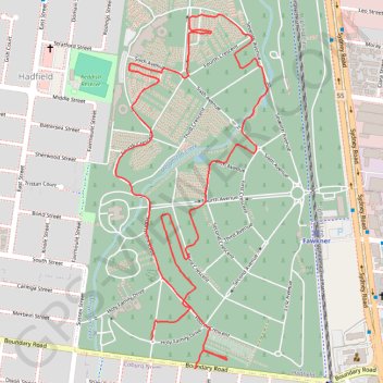
Paths and highways in Fawkner Memorial Park
- Distance: 2.6 mi
- Elevation gain: 69 ft
- Maximum elevation: 256 ft
- Elevation loss: 62 ft
- Minimum elevation: 230 ft
- Moving time: 23 m 34 s
- Moving speed: 6.5 mph
- Maximum speed: 13.0 mph
- Total time: 23 m 34 s
- Global speed: 6.5 mph
- Date: 04/04/2024
Interactive map
GPS track profile
About this GPS track
Name: Paths and highways in Fawkner Memorial Park GPS track, route, trail
Coordinates: -37.71862 144.95321 -37.70839 144.95875