Nordlandsnupen 001 001 001
- Distance: 2.5 mi
- Elevation gain: 1,939 ft
- Maximum elevation: 1,391 ft
- Elevation loss: 1,939 ft
- Minimum elevation: 30 ft
Interactive map
GPS track profile
About this GPS track
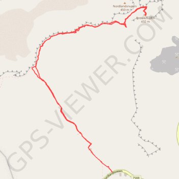
Name: Nordlandsnupen 001 001 001 GPS track, route, trail
Start: Nordlandsveien, Breivika, Sørland, Værøy, Nordland, 8063, Norvège (67.67902 12.69736)
End: Nordlandsveien, Breivika, Sørland, Værøy, Nordland, 8063, Norvège (67.67904 12.69730)
Coordinates: 67.67902 12.68579 67.68807 12.70235
Other GPS tracks
Click on a GPS track to view route, its statistics and profile.
Stage 1: Arctic Ocean to Väylä — European Divide Trail
Distance: 1,730.5 mi • Elevation gain: 78,159 ft • Maximum elevation: 2,369 ft