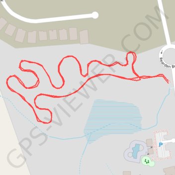
Walking of newly constructed walking path near Jarrell, TX
- Distance: 1.0 mi
- Elevation gain: 23 ft
- Maximum elevation: 797 ft
- Elevation loss: 23 ft
- Minimum elevation: 778 ft
- Moving time: 16 m 51 s
- Moving speed: 3.6 mph
- Maximum speed: 4.3 mph
- Total time: 16 m 51 s
- Global speed: 3.6 mph
- Date: 04/20/2024
Interactive map
GPS track profile
About this GPS track
Name: Walking of newly constructed walking path near Jarrell, TX GPS track, route, trail
Coordinates: 30.81303 -97.58256 30.81400 -97.58001
Topography: Williamson County topographic map