The Large Crater
Interactive map
GPS track profile
About this GPS track
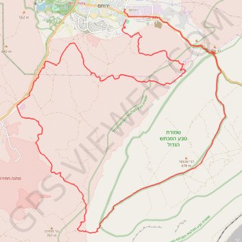
Name: The Large Crater GPS track, route, trail
Start: Rashi, Shaked, Yerocham, Yeruham, Israel (30.98295 34.93638)
End: Sderot Vardimon, Shaked, Yerocham, Yeruham, Israel (30.98745 34.93584)
Coordinates: 30.89231 34.88217 30.98745 34.98566