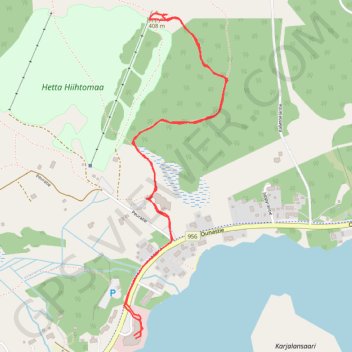
Petites randonnée sur le Jyppyrä
Raquettes. En aller-retour. #Raquettes
- Distance: 1.9 mi
- Elevation gain: 367 ft
- Maximum elevation: 1,316 ft
- Elevation loss: 367 ft
- Minimum elevation: 945 ft
- Moving time: 1 h 6 m
- Moving speed: 1.7 mph
- Maximum speed: 3.0 mph
- Total time: 1 h 53 m
- Global speed: 1.0 mph
- Date: 12/30/2014
Interactive map
GPS track profile
About this GPS track
Name: Petites randonnée sur le Jyppyrä GPS track, route, trail
Coordinates: 68.39142 23.66480 68.40055 23.67263
Other GPS tracks
Click on a GPS track to view route, its statistics and profile.
Stage 1: Arctic Ocean to Väylä — European Divide Trail
Distance: 1,730.5 mi • Elevation gain: 78,159 ft • Maximum elevation: 2,369 ft