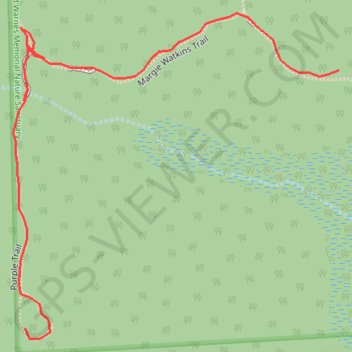
Wilcox Warnes Nature Sanctuary Trails in Shelby Township, MI
Interactive map
GPS track profile
About this GPS track
Name: Wilcox Warnes Nature Sanctuary Trails in Shelby Township, MI GPS track, route, trail
Coordinates: 42.70829 -83.00095 42.70989 -82.99877
Topography: Macomb County topographic map