BELLEVUE
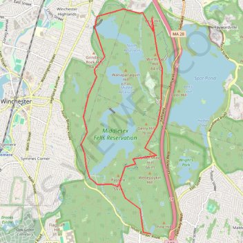
Bike Loop Bellevue
- Distance: 7.0 mi
- Elevation gain: 413 ft
- Maximum elevation: 289 ft
- Elevation loss: 413 ft
- Minimum elevation: 95 ft
Interactive map
GPS track profile
About this GPS track
Name: BELLEVUE GPS track, route, trail
Start: Quarry Road, Medford, Middlesex County, Massachusetts, 02155, United States (42.43095 -71.10763)
Coordinates: 42.43095 -71.12285 42.46711 -71.10512
Topography: Medford topographic map