Wapack Range
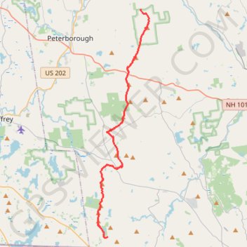
Hike along the Wapack Trail via Binney Pond, Pratt Mountain, New Ipswich Mountain, Barrett Mountain, Burton Peak, Temple Mountain, Pack Monadnock and North Pack Monadnock. #Hike #Mountain #Nature #Forest #Lake #Wapack
- Distance: 16.4 mi
- Elevation gain: 3,373 ft
- Maximum elevation: 2,247 ft
- Elevation loss: 3,422 ft
- Minimum elevation: 1,227 ft
Interactive map
GPS track profile
About this GPS track
Name: Wapack Range GPS track, route, trail
Coordinates: 42.72013 -71.91917 42.90045 -71.86435
Topography: Hillsborough County topographic map