Sugarloaf and New Sugarloaf
Interactive map
GPS track profile
About this GPS track
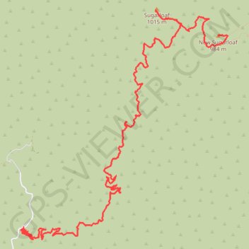
Name: Sugarloaf and New Sugarloaf GPS track, route, trail
End: San Juan Trail, Orange County, California, 90000, United States (33.62574 -117.48076)
Coordinates: 33.59990 -117.51084 33.62914 -117.47929
Topography: Orange County topographic map