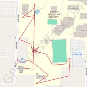
Waypoints_01-ABR-24
- Distance: 0.8 mi
- Elevation gain: 75 ft
- Maximum elevation: 3,406 ft
- Elevation loss: 75 ft
- Minimum elevation: 3,350 ft
- Moving time: 49 m 36 s
- Moving speed: 1.0 mph
- Maximum speed: 1.4 mph
- Total time: 10 h 48 m
- Global speed: 0.1 mph
- Date: 04/01/2024
Interactive map
GPS track profile
About this GPS track
Name: Waypoints_01-ABR-24 GPS track, route, trail
Coordinates: 3.34454 -76.53441 3.34754 -76.53243
Topography: Cali topographic map