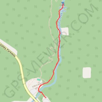
Lower Falls - Johnston Canyon Trail
Interactive map
GPS track profile
About this GPS track
Name: Lower Falls - Johnston Canyon Trail GPS track, route, trail
Start: Johnston Canyon, Bow Valley Parkway, Division No. 15, Alberta, Canada (51.24581 -115.83999)
End: Johnston Canyon, Bow Valley Parkway, Division No. 15, Alberta, Canada (51.24581 -115.83999)
Coordinates: 51.24581 -115.84105 51.25484 -115.83726
Other GPS tracks
Click on a GPS track to view route, its statistics and profile.