Les Éoliennes de Plum
Interactive map
GPS track profile
About this GPS track
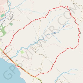
Name: Les Éoliennes de Plum GPS track, route, trail
Start: Route du Sud, Mont Dore, Province Sud, Nouvelle-Calédonie, France (-22.28508 166.64616)
End: Route du Sud, Mont Dore, Province Sud, Nouvelle-Calédonie, France (-22.28515 166.64624)
Coordinates: -22.28836 166.64120 -22.26686 166.66635
Other GPS tracks
Click on a GPS track to view route, its statistics and profile.
UTNC 80 km
France > Province Sud > Mont Dore
Distance: 50.6 mi • Elevation gain: 10,679 ft • Maximum elevation: 1,955 ft