Anstey Hill Recreation Park
Interactive map
GPS track profile
About this GPS track
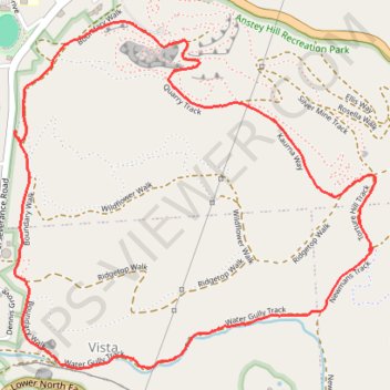
Name: Anstey Hill Recreation Park GPS track, route, trail
Coordinates: -34.83664 138.72692 -34.82380 138.74316
Name: Anstey Hill Recreation Park GPS track, route, trail
Coordinates: -34.83664 138.72692 -34.82380 138.74316