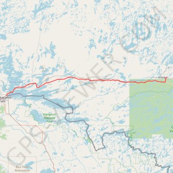
Fort Frances - Atikokan
- Distance: 91.4 mi
- Elevation gain: 2,972 ft
- Maximum elevation: 1,450 ft
- Elevation loss: 2,805 ft
- Minimum elevation: 1,093 ft
Interactive map
GPS track profile
About this GPS track
Name: Fort Frances - Atikokan GPS track, route, trail
Coordinates: 48.62779 -93.36075 48.76107 -91.58759
Other GPS tracks
Click on a GPS track to view route, its statistics and profile.
Nestor Falls - Fort Frances
Canada > Ontario > Kenora District > Sioux Narrows-Nestor Falls Township
#Bike
Distance: 58.5 mi • Elevation gain: 1,414 ft • Maximum elevation: 1,296 ft