Alexandra Lake - Mount Alexandra - Katoomba Lookout
Interactive map
GPS track profile
About this GPS track
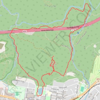
Name: Alexandra Lake - Mount Alexandra - Katoomba Lookout GPS track, route, trail
Coordinates: -34.44763 150.43881 -34.42656 150.46094
Other GPS tracks
Click on a GPS track to view route, its statistics and profile.