Old Rag Mountain Loop
Interactive map
GPS track profile
About this GPS track
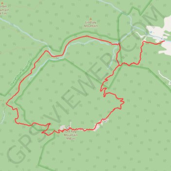
Name: Old Rag Mountain Loop GPS track, route, trail
Start: 2624, Nethers Road, Nethers, Madison County, Virginia, 22740, United States (38.57103 -78.28751)
End: 2624, Nethers Road, Nethers, Madison County, Virginia, 22740, United States (38.57103 -78.28751)
Coordinates: 38.55018 -78.33230 38.57212 -78.28751
Topography: Madison County topographic map