Cascade Mountain and Porter Mountain
Interactive map
GPS track profile
About this GPS track
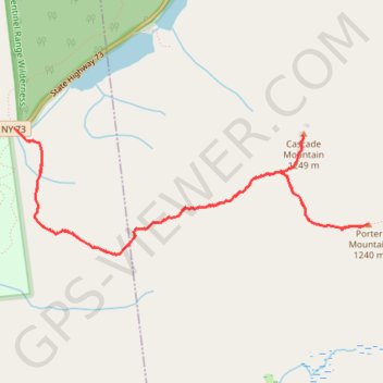
Name: Cascade Mountain and Porter Mountain GPS track, route, trail
Coordinates: 44.21032 -73.88777 44.21897 -73.85395
Topography: Essex County topographic map
Other GPS tracks
Click on a GPS track to view route, its statistics and profile.
Montréal - New York
Canada > Québec > Agglomération de Montréal > Montréal
Distance: 396.0 mi • Elevation gain: 13,563 ft • Maximum elevation: 988 ft