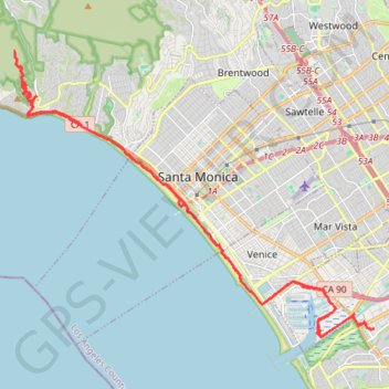
Playa Vista to Topanga State Park
Mountain Bike via Venice Beach, Santa Monica State Beach, Will Rogers State Beach and East Topanga Fire Road in Santa Monica National Mountains Recreation Area. #MTB #Beach #Mountain #Sea #Pacific #Ocean #City #Nature
- Distance: 29.3 mi
- Elevation gain: 1,932 ft
- Maximum elevation: 1,115 ft
- Elevation loss: 1,939 ft
- Minimum elevation: -3 ft
- Moving time: 2 h 41 m
- Moving speed: 10.9 mph
- Maximum speed: 25.3 mph
- Total time: 3 h 3 m
- Global speed: 9.6 mph
- Date: 09/29/2011
Interactive map
GPS track profile
About this GPS track
Name: Playa Vista to Topanga State Park GPS track, route, trail
Coordinates: 33.96877 -118.56050 34.05858 -118.42441
Topography: Los Angeles topographic map
Other GPS tracks
Click on a GPS track to view route, its statistics and profile.