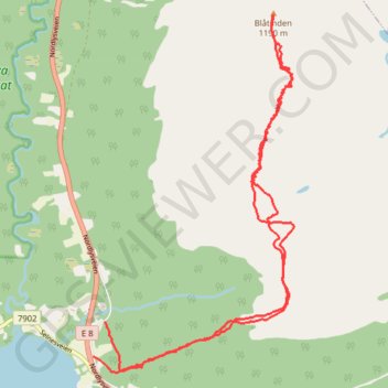
Balsfjord Ski de randonnée nordique/Surf des neiges
- Distance: 6.3 mi
- Elevation gain: 3,806 ft
- Maximum elevation: 3,845 ft
- Elevation loss: 3,845 ft
- Minimum elevation: 69 ft
- Moving time: 2 h 18 m
- Moving speed: 2.7 mph
- Maximum speed: 35.8 mph
- Total time: 3 h 22 m
- Global speed: 1.9 mph
- Date: 04/19/2022
Interactive map
GPS track profile
About this GPS track
Name: Balsfjord Ski de randonnée nordique/Surf des neiges GPS track, route, trail
Start: Ørnesveien, Ytre Laksvatn, Laksvatn, Balsfjord, Troms og Finnmark, Norway (69.38112 19.28844)
Coordinates: 69.37739 19.28603 69.40332 19.32718
Topography: Troms og Finnmark topographic map
Other GPS tracks
Click on a GPS track to view route, its statistics and profile.
Stage 1: Arctic Ocean to Väylä — European Divide Trail
Distance: 1,730.5 mi • Elevation gain: 78,159 ft • Maximum elevation: 2,369 ft