Whitaker Point
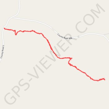
Interactive map
GPS track profile
About this GPS track
Name: Whitaker Point GPS track, route, trail
Start: Whitaker Point Trail, Newton County, Arkansas, United States (35.89827 -93.45801)
End: Whitaker Point Trail, Newton County, Arkansas, United States (35.89827 -93.45801)
Coordinates: 35.89083 -93.45801 35.89827 -93.44043
Topography: Newton County topographic map