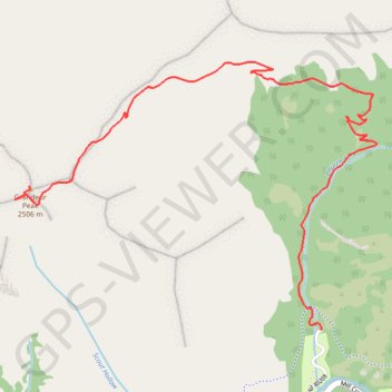
Grandeur Peak from Church Fork
Interactive map
GPS track profile
About this GPS track
Name: Grandeur Peak from Church Fork GPS track, route, trail
Start: Grandeur Peak Trail, Salt Lake County, Utah, United States (40.70069 -111.74238)
End: Grandeur Peak Trail, Salt Lake County, Utah, United States (40.70071 -111.74235)
Coordinates: 40.70069 -111.76072 40.71286 -111.73900
Topography: Salt Lake County topographic map