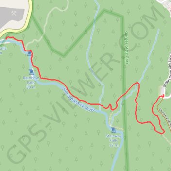
Rainbow Falls and Turtleback Falls
Interactive map
GPS track profile
About this GPS track
Name: Rainbow Falls and Turtleback Falls GPS track, route, trail
Start: Rainbow Falls Trail, Transylvania County, North Carolina, United States (35.08884 -82.95167)
End: Rainbow Falls Trail, Transylvania County, North Carolina, United States (35.08884 -82.95167)
Coordinates: 35.08540 -82.96865 35.09396 -82.95152
Topography: Transylvania County topographic map