Import a GPX file

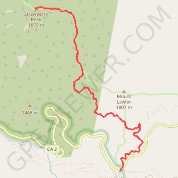
Strawberry Peak Trail from Redbox

Angeles National Forest. #Hike #Mountain #Forest #Nature

  • Distance: 7.5 mi
  • Elevation gain: 2,881 ft
  • Maximum elevation: 6,119 ft
  • Elevation loss: 2,881 ft
  • Minimum elevation: 4,646 ft

Interactive map

GPS track profile

About this GPS track

Other GPS tracks

Click on a GPS track to view route, its statistics and profile.

Strawberry Peak

United States > California > Los Angeles County

Hike from Red Box Gap to Strawberry Peak via Barley Flats Truck Trail and Strawberry Peak Trail in the San Gabriel Mountains National Monument and the Angeles National Forest. #Hike #Mountain #Nature #Forest #Angeles

Distance: 3.5 mi • Elevation gain: 2,283 ft • Maximum elevation: 6,115 ft

Gabrielino Trail

United States > California > Los Angeles County

Hike on Gabrielino Trail from Chantry Flats to Altadena through Angeles National Forest. #Hike #Mountain #Nature #River #Forest #Angeles

Distance: 27.6 mi • Elevation gain: 7,736 ft • Maximum elevation: 4,662 ft