Gertrude's Nose Loop via Millbrook Mountain
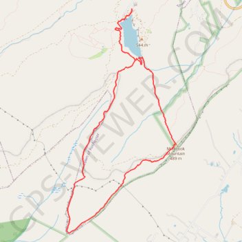
Interactive map
GPS track profile
About this GPS track
Name: Gertrude's Nose Loop via Millbrook Mountain GPS track, route, trail
Coordinates: 41.69437 -74.24902 41.72971 -74.22608
Topography: Ulster County topographic map
Other GPS tracks
Click on a GPS track to view route, its statistics and profile.