Crater Lake via Maroon Lake
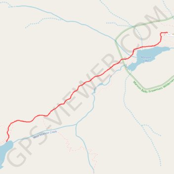
Interactive map
GPS track profile
About this GPS track
Name: Crater Lake via Maroon Lake GPS track, route, trail
Start: Pitkin County, Colorado, United States (39.09977 -106.94223)
End: Pitkin County, Colorado, United States (39.09977 -106.94223)
Coordinates: 39.08719 -106.96626 39.09984 -106.94223
Topography: Pitkin County topographic map