Import a GPX file

Redlands Track Park

#MTB #Loop #Redlands

  • Distance: 13.1 mi
  • Elevation gain: 883 ft
  • Maximum elevation: 197 ft
  • Elevation loss: 892 ft
  • Minimum elevation: 52 ft

Interactive map

GPS track profile

About this GPS track
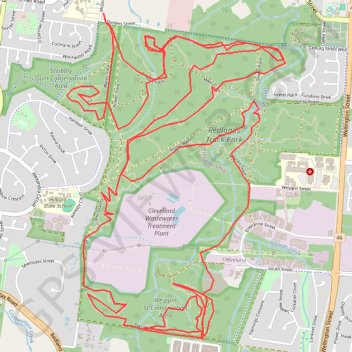
Other GPS tracks

Click on a GPS track to view route, its statistics and profile.

Weippin Street, Redlands and Scribbly Gum Loop

Australia > Queensland

Loop hike /run via Weippin Street Conservation Area, Redlands Track Park and Scribbly Gum Conservation Area. #Hike #Run #Loop #City #Nature #Forest #Park

Distance: 7.5 mi • Elevation gain: 531 ft • Maximum elevation: 187 ft