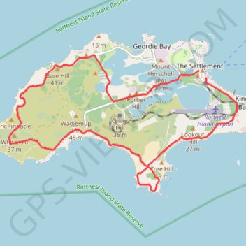
Rottnest Island Loop
Interactive map
GPS track profile
About this GPS track
Name: Rottnest Island Loop GPS track, route, trail
Coordinates: -32.02582 115.48524 -31.99253 115.55055
Other GPS tracks
Click on a GPS track to view route, its statistics and profile.