Sydney - Wollongong
Interactive map
GPS track profile
About this GPS track
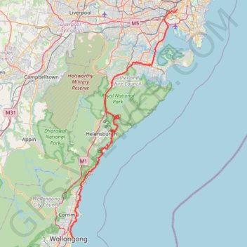
Name: Sydney - Wollongong GPS track, route, trail
Coordinates: -34.42257 150.89753 -33.91263 151.18672
Other GPS tracks
Click on a GPS track to view route, its statistics and profile.
Perth to Sydney
Australie > Australie occidentale > City of Belmont
Distance: 2,362.0 mi • Elevation gain: 47,762 ft • Maximum elevation: 3,802 ft
Sydney to Oran Park NSW
Australia > New South Wales > Sydney
Distance: 37.5 mi • Elevation gain: 1,893 ft • Maximum elevation: 413 ft