Frontier Park - Seal Beach
- Distance: 14.2 mi
- Elevation gain: 46 ft
- Maximum elevation: 112 ft
- Elevation loss: 131 ft
- Minimum elevation: 10 ft
Interactive map
GPS track profile
About this GPS track
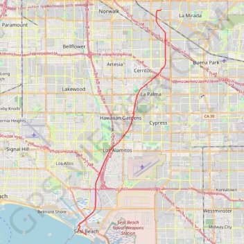
Name: Frontier Park - Seal Beach GPS track, route, trail
Coordinates: 33.73960 -118.11300 33.91074 -118.03329
Topography: Los Angeles County topographic map