Hararit
Interactive map
GPS track profile
About this GPS track
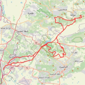
Name: Hararit GPS track, route, trail
Coordinates: 32.69789 35.10877 32.84648 35.36484
Other GPS tracks
Click on a GPS track to view route, its statistics and profile.
סיבוב בעמק יזרעאל
Israel > North District > Emek Izrael Regional Council > Beit Zaid
Distance: 28.5 mi • Elevation gain: 1,358 ft • Maximum elevation: 610 ft
Home78Rec
Israel > Haifa District > Nesher
Distance: 48.7 mi • Elevation gain: 4,852 ft • Maximum elevation: 1,512 ft