Mount Carleton
Interactive map
GPS track profile
About this GPS track
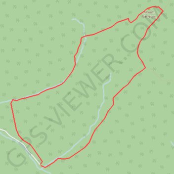
Name: Mount Carleton GPS track, route, trail
End: Northesk Parish, Northumberland County, New Brunswick, Canada (47.35266 -66.90210)
Coordinates: 47.35211 -66.90914 47.37830 -66.87253
Other GPS tracks
Click on a GPS track to view route, its statistics and profile.