Orchard Trail
Interactive map
GPS track profile
About this GPS track
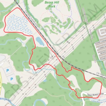
Name: Orchard Trail GPS track, route, trail
Coordinates: 43.81388 -79.17186 43.82634 -79.15313
Other GPS tracks
Click on a GPS track to view route, its statistics and profile.
Toronto - Oshawa
Canada > Ontario > Old Toronto
#Bike
Distance: 41.8 mi • Elevation gain: 1,499 ft • Maximum elevation: 600 ft