Import a GPX file

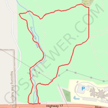
Duchesnay Falls Loop

Lac Nipissing. #Hike #Snowshoes #Loop

  • Distance: 2.2 mi
  • Elevation gain: 417 ft
  • Maximum elevation: 1,037 ft
  • Elevation loss: 417 ft
  • Minimum elevation: 663 ft

Interactive map

GPS track profile

About this GPS track

Other GPS tracks

Click on a GPS track to view route, its statistics and profile.

Québec - Montréal - Saint-Laurent River - Lake Ontario - Niagara Falls

Canada > Quebec > Urban agglomeration of Québec > Quebec

#Bike #Ontario

Distance: 670.1 mi • Elevation gain: 15,761 ft • Maximum elevation: 686 ft

West Nipissing - North Bay

Canada > Ontario > Nipissing District > West Nipissing > Cache Bay

Lake Nipissing. #Bike #Nipissing #NorthBay

Distance: 28.9 mi • Elevation gain: 623 ft • Maximum elevation: 781 ft