Cedar Bog Trail
Interactive map
GPS track profile
About this GPS track
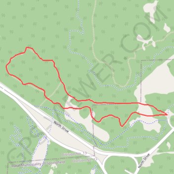
Name: Cedar Bog Trail GPS track, route, trail
Coordinates: 50.01365 -96.93349 50.01972 -96.91420
Name: Cedar Bog Trail GPS track, route, trail
Coordinates: 50.01365 -96.93349 50.01972 -96.91420