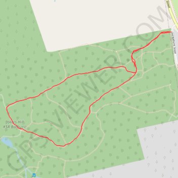
Joker's Hill Loop
Thornton Bales Conservation Area. #Hike #Run #Loop #ThorntonBales
- Distance: 1.8 mi
- Elevation gain: 164 ft
- Maximum elevation: 1,063 ft
- Elevation loss: 164 ft
- Minimum elevation: 978 ft
Interactive map
GPS track profile
About this GPS track
Name: Joker's Hill Loop GPS track, route, trail
Coordinates: 44.03453 -79.51737 44.04102 -79.50437
Other GPS tracks
Click on a GPS track to view route, its statistics and profile.