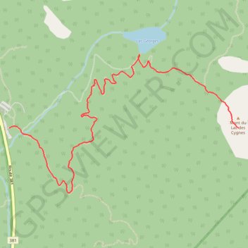
Le Mont du Lac des Cygnes
Randonnée depuis Saint-Urbain. #Randonnée
- Distance: 2.6 mi
- Elevation gain: 1,440 ft
- Maximum elevation: 3,136 ft
- Elevation loss: 36 ft
- Minimum elevation: 1,713 ft
- Moving time: 1 h 37 m
- Moving speed: 1.6 mph
- Maximum speed: 3.7 mph
- Total time: 1 h 47 m
- Global speed: 1.4 mph
- Date: 09/01/2012
Interactive map
GPS track profile
About this GPS track
Name: Le Mont du Lac des Cygnes GPS track, route, trail
Coordinates: 47.66115 -70.62717 47.67081 -70.60334